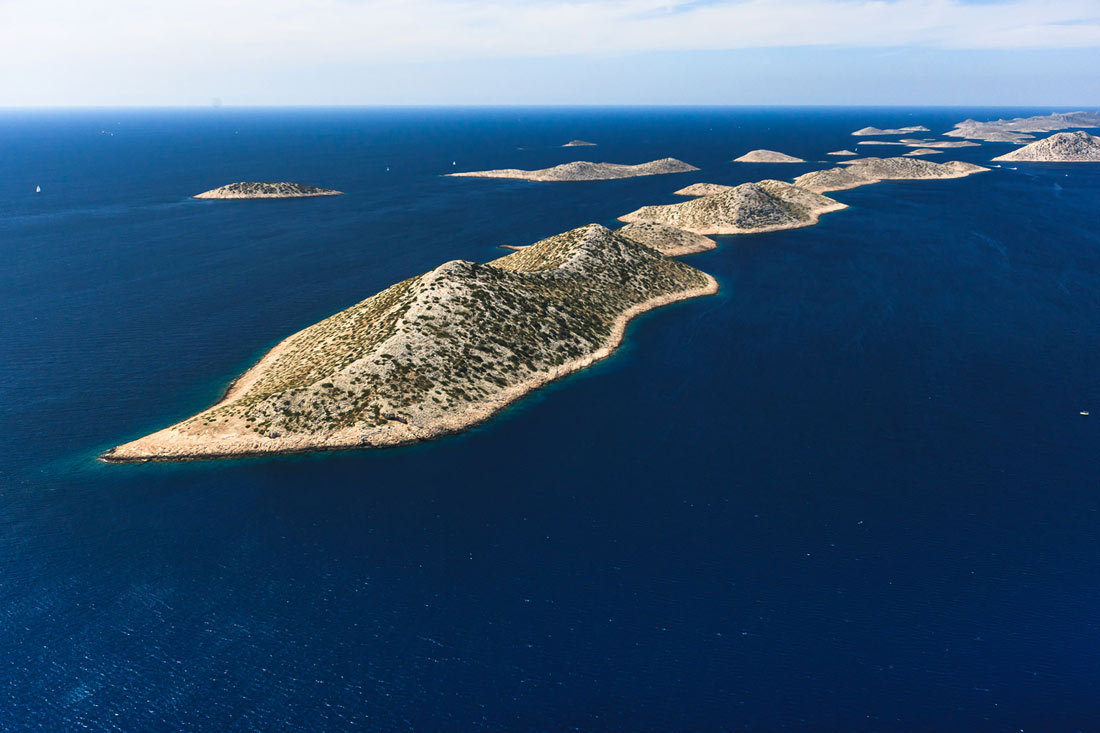
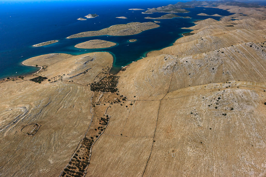
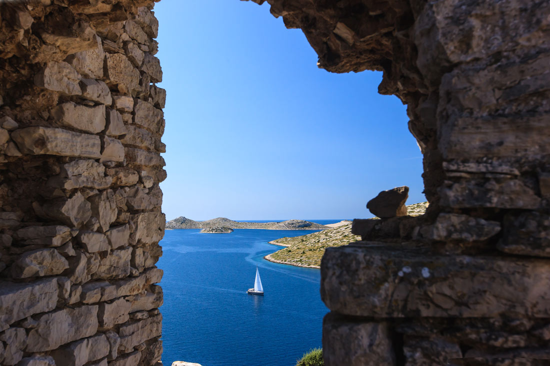
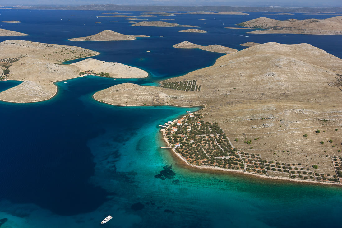
National park Kornati
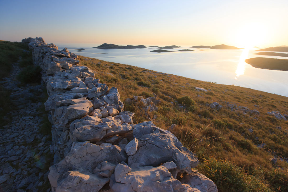
Nature Park Telašćica
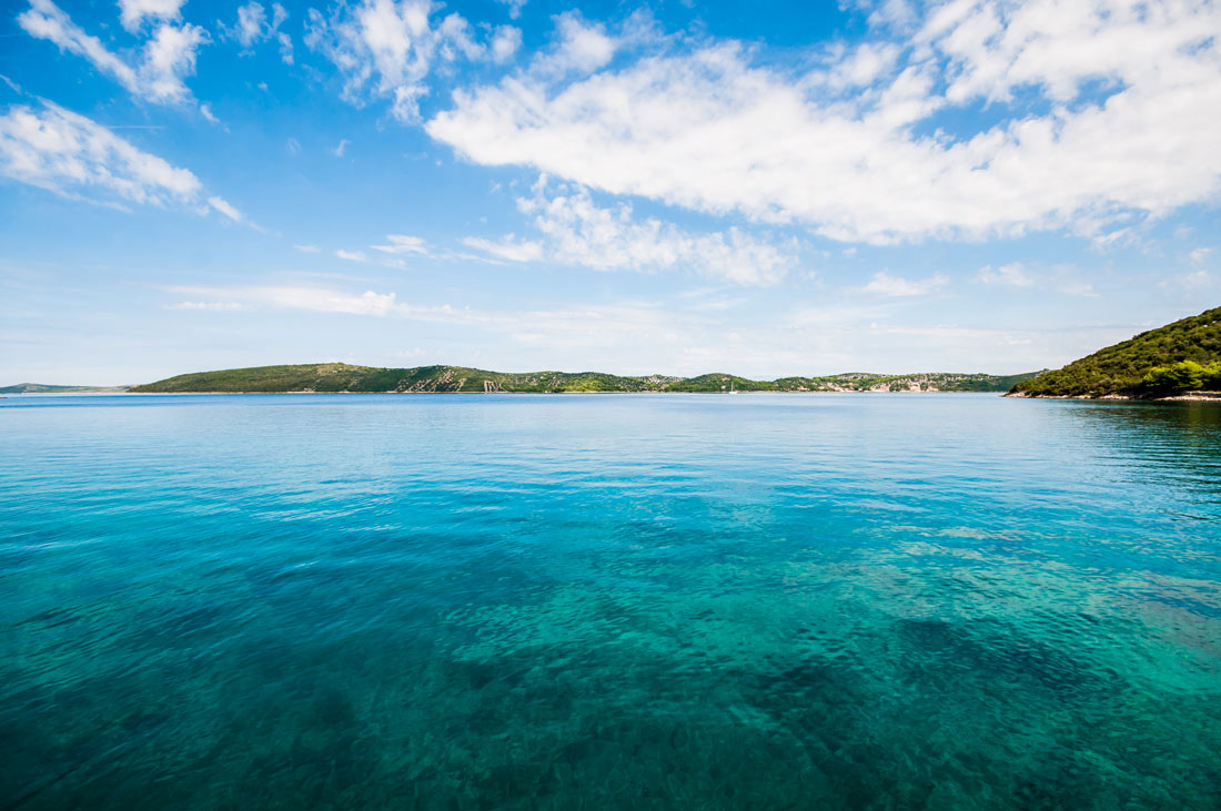
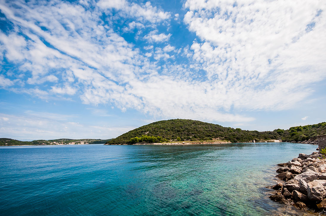
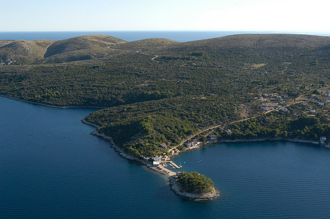
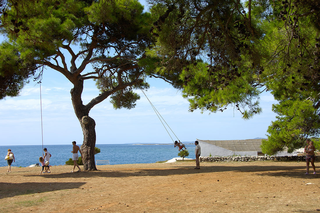
Telašćica bay is situated in the SE part of the island of Dugi otok. Thanks to its extreme beauty, richness and importance, this bay surrounded by 13 islands and islets was proclaimed a Nature Park in 1988. The area of "Telašćica" Nature Park is distinctly contrasted area with quiet and peaceful beaches and laid down coastline on one side and wild and rough cliffs on the other. The total surface of the Nature Park is 70,50 km2. The unique bay of Telašćica is one of the safest, the most beautiful and the largest bay on the Adriatic islands, uninhabited and still largely preserved in its natural state. Basic geomorphological uniqueness are the saltwater lake „Mir“ with curative characteristics and arrays of coastal cliffs rising up to 160m above the sea level and falling down vertically up to 80m below the sea level, with various birds nesting. Beautifully cultivated meadows and hillsides are rich with Mediterranean vegetation with more than 300 species of flora and equally rich fauna.
Military underground harbor - tunnels
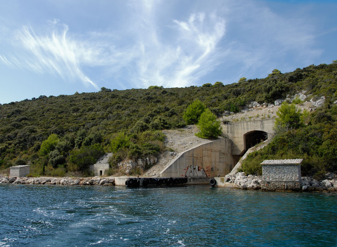
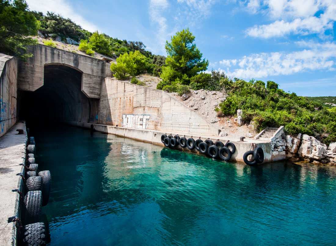
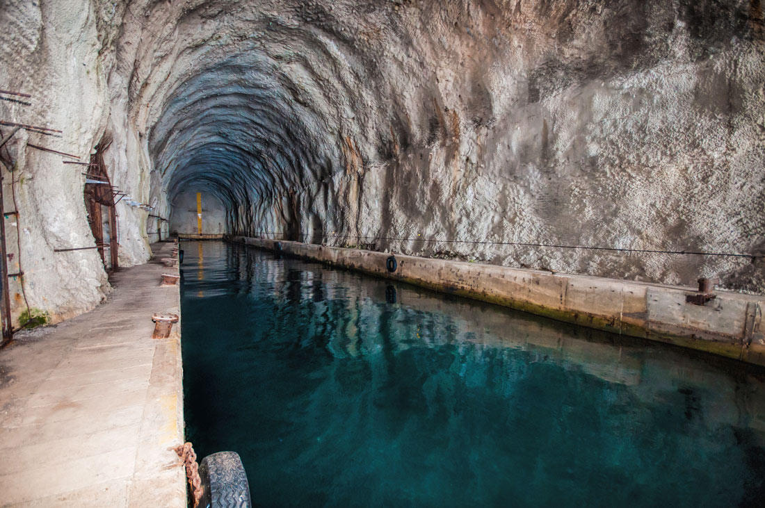
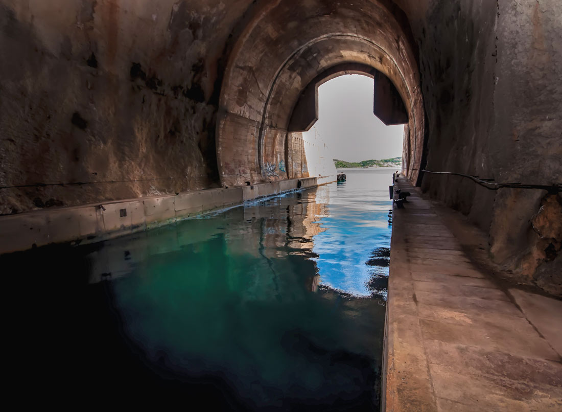
Military underground harbor indicates the harbor equipped with moorings, that provides ships accommodation, shelters for the crew, their maintenance and the crew training in order to maintain the degree of combat readiness, readiness for performing protection against the effects of enemy attacks, protection of hydro-meteorological (natural) disasters and logistic support relying on the logistic units of Croatian Armed Forces.
Tunnel »Zagračina« – Dugi otok (44°09’06”N, 14°53’44”E) k.o. Soline.
Tunnel »Paprenica« – Dugi Otok (44°07’09”N, 14°56’00”E) k.o. Dragove.
PotTunnel kop »Bukašin« – Dugi otok (44°06’37”N, 14°56’40”E) k.o. Dragove.
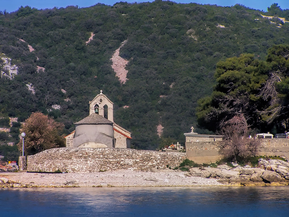
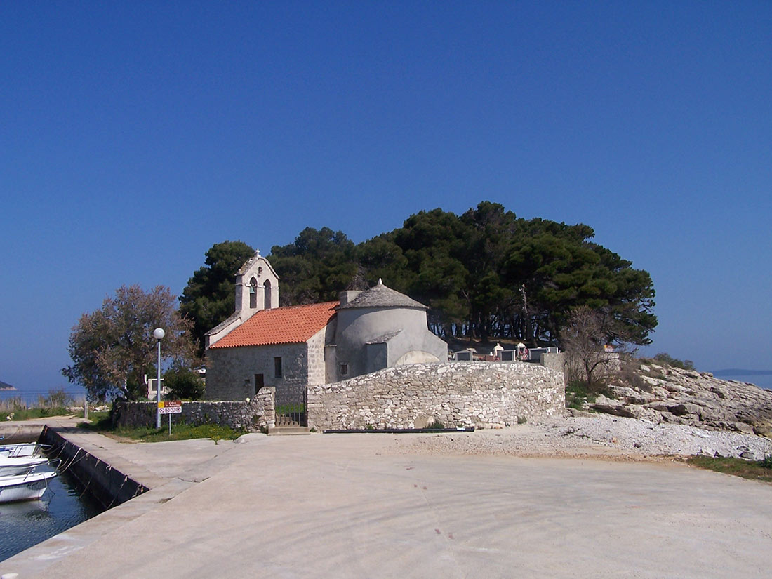
The church of Sv. Peregrine and cemetery - Savar
Old Croatian church of St. Peregrine is sacral object of the highest category. It originates from the 7th to 9th century and represents an original type of pre-Romanesque architecture. The church is located in little village Savar, on an island which is now with an artificial embankment connected with the mainland.
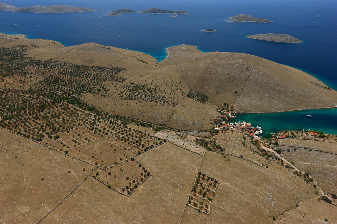
Oliveyard Saljsko polje
In the oliveyard Saljsko polje are olive trees up to 700 years old, which represents a unique ecological area. Due to the age and size of the trees this oliveyard was declared a botanical reserve and protected category of significant landscape. Local population calls this oliveyard "olive forest" and it is assumed that first olives began to plant the ancient Greeks, who had estates on the island. A large number of trees belongs to the church and these trees are marked with a red cross. By its age, spaciousness and layout, oliveyard Saljsko polje is a unique botanical, aesthetic and tourist value.
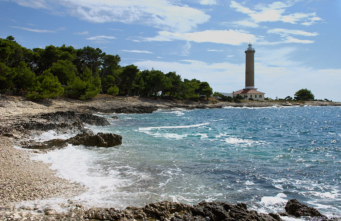
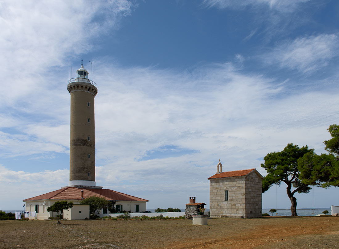
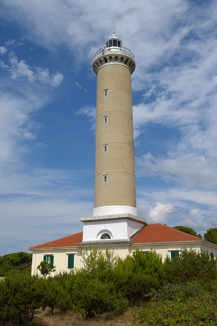
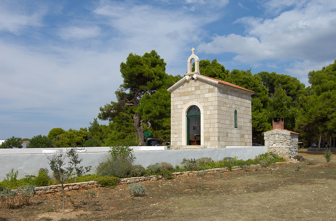
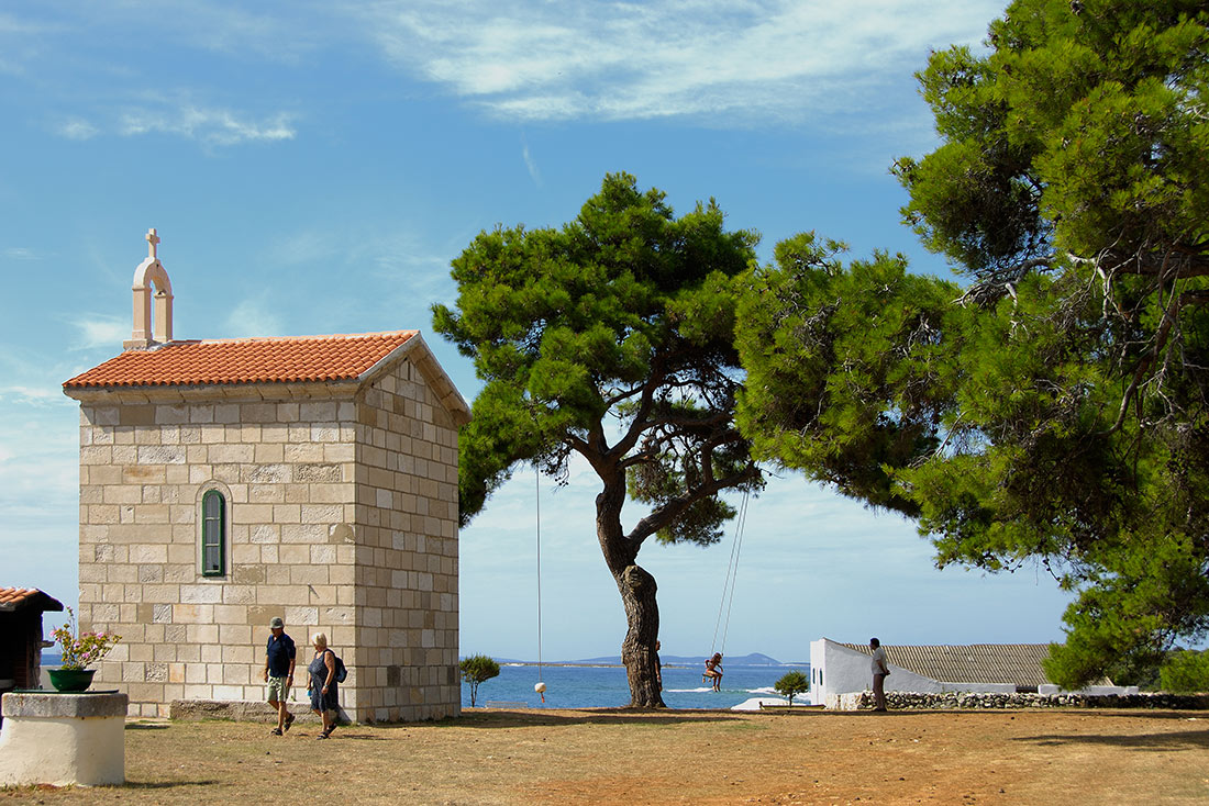
Lighthouse Punta Bjanka – Veli Rat
Punta Bianca was built in 1849. and due to its height of 42 meters represents the highest lighthouse in the Adriatic. In the yard of the lighthouse is the chapel of St. Nicholas, where you can organize a romantic wedding with a view on the open sea. According to the tradition, in its yellow facade was spent 100 000 yolks.
About us
Hotels Božava is a hotel complex on island Dugi otok. We offer our guests service on the highest professional level.
Social Networks


Contact
Address: Božava 46, 23286 Božava, Dugi otok
Identification number: 1426621
Personal Identification Number: 43457845567
Tel. + 385 23 291 291
Fax. +385 23 291 829
Payment information
OTP BANKA
IBAN: HR7924070001100076310
SWIFT: OTPVHR2X
ZAGREBAČKA BANKA
IBAN: HR1023600001102459219
SWIFT: ZABAHR2X
2014 © Hoteli Božava. ALL Rights Reserved.
